In order to seek the most suitable corridor for the new pipeline, MEDGAZ conducted a rigorous and exhaustive marine survey. Between 2002 and 2004, a total of five specialized engineering companies assessed the geotechnical hazards, analyzed the complex morphology of the sea floor and determined the best route for the submarine portion of the pipeline.
The flora and fauna of the Algerian and Spanish coastal areas were analyzed and all the biological species of the area were catalogued for their inclusion in the Environmental Impact Assessment (EIA).
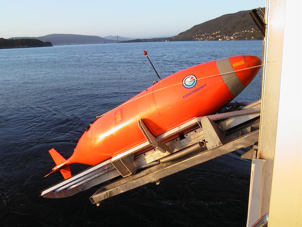
Autonomous Underwater Vehicle (AUV)
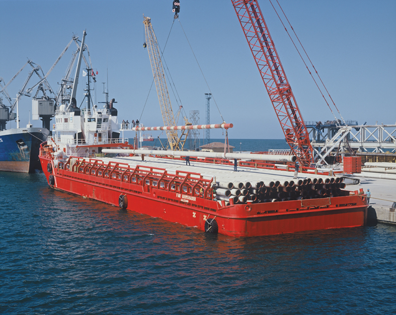
Details of construction of an offshore pipeline
Lastly, a series of seismic surveys were performed to map the seabed.
Throughout this period, the most modern mapping technologies were used. In fact, for the first time in Europe , MEDGAZ deployed an unmanned submarine, also called an AUV (Autonomous Underwater Vehicle), to survey water depths of over 1,000 meters.
All of the reports issued by the companies taking part in these surveys conclude that the route chosen by MEDGAZ offers ideal geophysical conditions for the pipeline and poses no risk to environmentally-sensitive areas.